Space science
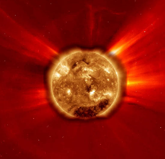
Weather forecast through shape ... Sun.
Sunspots on the Sun are the source of flashes, which have a great effect on processes under Earth. But unfortunately, these observations only allow people to predict the…
Browse ScienceInfo articles and explainers related to Weather Forecast.
288 published items.
Sunspots on the Sun are the source of flashes, which have a great effect on processes under Earth. But unfortunately, these observations only allow people to predict the…
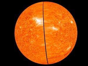
The 3D image was taken and published by two independent satellites of the US Aeronautics and Space Agency (NASA) on June 6, allowing scientists to see the entire surface…
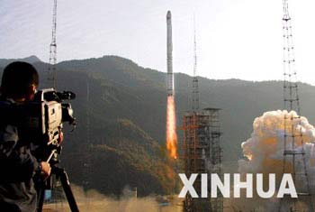
China may launch Fengyun-3 (Feng Yun-3 or FY-3) weather forecast satellite this fall to improve its global weather forecast.

A scientist in the United States found that hiding deep in small fungi is an extraordinary ability to create useful rain waves.
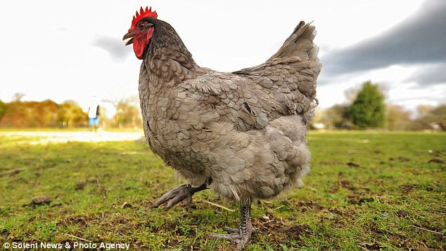
Without the need for high-tech computer diagrams, Rosie hens exhibited their amazing weather forecasting ability through egg laying.

Every time when the weather MCs often bring a secret tool ... like what the weather MCs in the prestigious news firms in the world still show.

An American farmer can predict a big blizzard through pig pancreas instead of radar or other modern technical means.

Mr. Nguyen Van Huong - Head of Climate Forecast Department, National Center for Hydrometeorological Forecasting said that the cold air flow from November 17 will last fo…
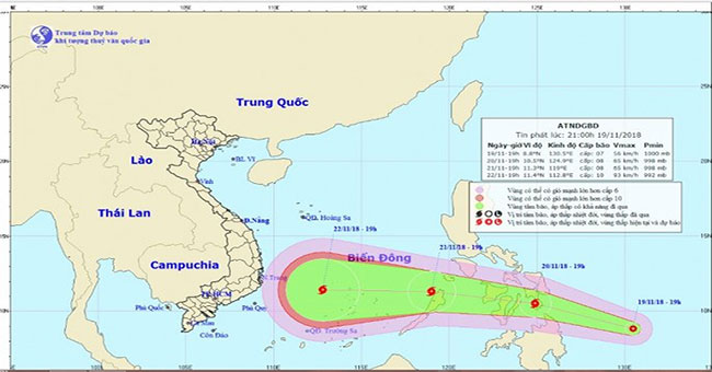
In 19h on November 19, the position of the tropical depression center was about 8.8 degrees Vi Bac; 130.5 degrees east longitude, about 650 km from the central coast of…
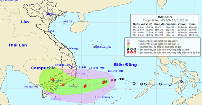
At 04:00 on November 23, the location of the storm center is about 10.9 degrees North latitude; 113.0 degrees east longitude, on the northwest region of the Spratly Isla…
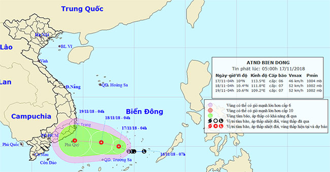
Early this morning (November 17), the low pressure area in Truong Sa archipelago has been strengthened into a tropical depression.
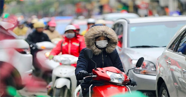
In the winter-spring season 2018-2019, the time of occurrence is very cold and harmful compared to the average of many years (AMY), ie in the second half of December 201…
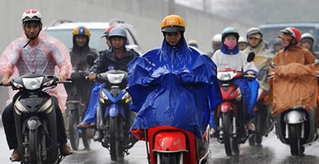
The Central Center for Hydrometeorological Forecasting said that it is expected that by the end of September, another northeast monsoon wind will come and cause widespre…
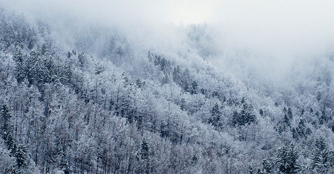
Talking to reporters, Mr. Nguyen Van Huong - Head of Climate Forecasting (National Center for Hydrometeorology Forecast) - said that this winter in the North of our coun…
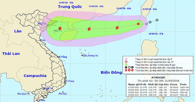
Last night (September 10), the tropical depression surpassed the southern part of Taiwan island and entered the Northeast Sea of the East Sea.